According to Orbiting Now, there are over 8800 active satellites in orbit around the earth as of November 2023. Most of these satellites are launched for very specific missions, and the data they transmit back to Earth is only able to be received by large companies and organizations. However, some satellites are launched with the ability to be received by radio enthusiasts around the world. Most of these satellites are government weather satellites which provide imagery of Earth as they orbit overhead.
Table of Contents
General Overview
Satellites transmit data by sending radio waves back down to Earth. There are three main parts of equipment needed to receive these radio signals: A radio, an antenna, and decoding software.
The Radio
The radios used to receive signals from satellites are different from radios most people are familiar with. A conventional radio might only be able to tune to specific frequencies within a range, such as different radio stations, by using its physical buttons and knobs. The type of radio I use to receive radio signals is called a Software Defined Radio (SDR). These radios are small devices which can be connected to and controlled by a computer. They typically have no physical buttons or knobs, as everything is controlled by software on the computer. I first started out with the RTL-SDRv3, one of the cheapest yet very capable SDRs on the market. It is capable of listening to frequencies up to 1.766 GHz at a bandwidth* of 2.4 MHz. This radio was enough to get started with low resolution satellite imagery, as they are transmitted at frequencies of around 137.5 MHz.
However, higher resolution satellite imagery is transmitted at frequencies of around 1.7 GHz at 3 MHz of bandwidth. This is at the limit of what the RTL-SDR can handle, so I decided to invest in an Airspy Mini, which is a slightly more expensive SDR that can listen to up to 1.8 GHz at a bandwidth of 6 Mhz. It also has higher quality hardware making it more "sensitive" to weak signals. This radio should meet my needs for the foreseeable future, because even if I want to listen to higher frequencies, I can buy a relatively cheap downconverter, which can convert higher frequencies to lower ones my radio can receive.
* Bandwidth is width of radio spectrum. Radio signals are centered on a specific frequency, but have a finite width, which takes up a range of frequencies above and below the center frequency. A radio must be able to listen to a signal's full bandwidth to properly decode it.
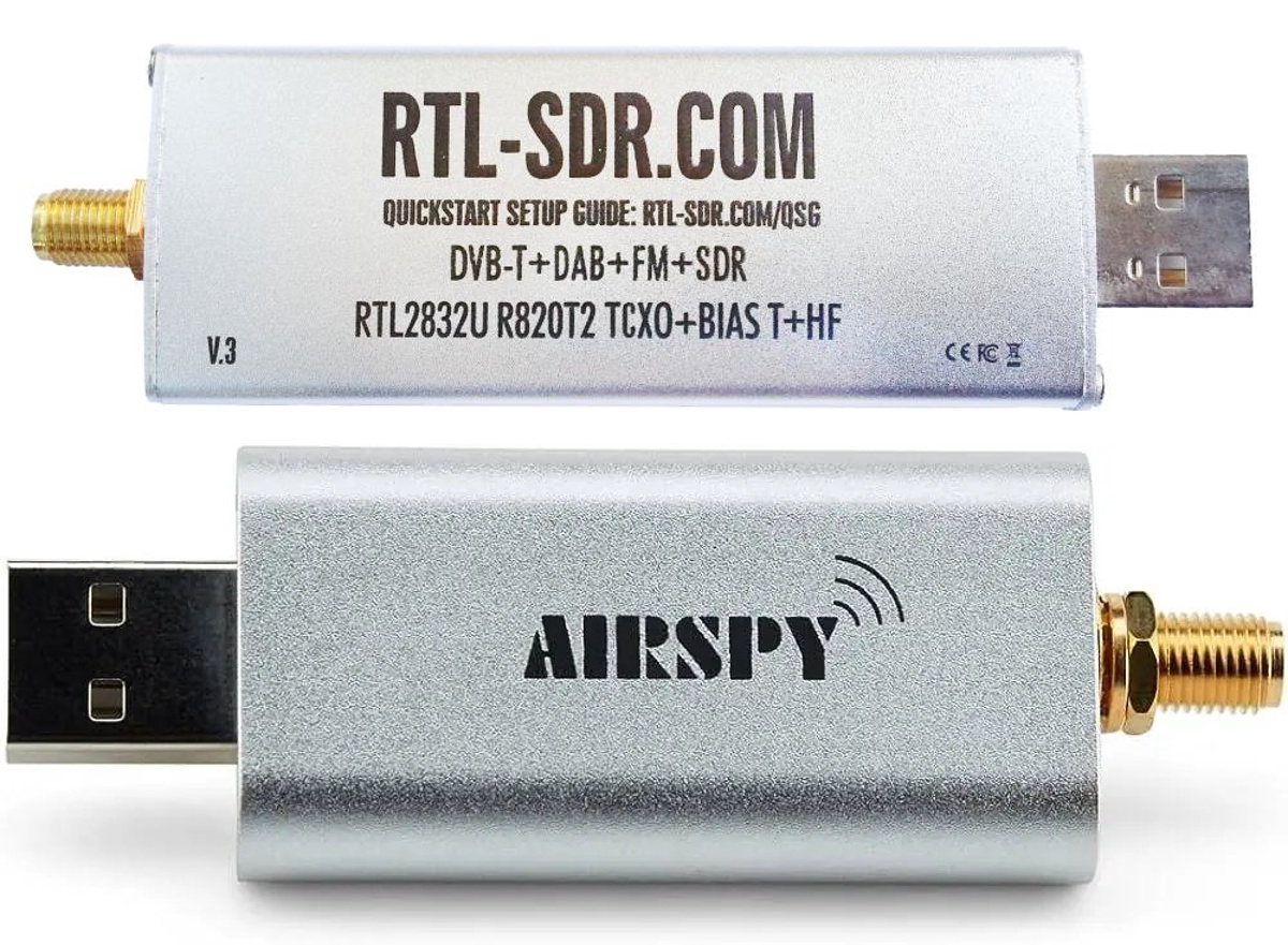
RTL-SDRv3 (top) and Airspy Mini (bottom)
The Antenna
The antenna is the part that converts the invisible radio waves into electrical signals the radio can understand. I'm not an expert on antennas so I won't try to explain how they work, but there are a couple basic concepts that are important: wavelength and polarization.
Radio signals follow the shape of a sine wave. The wavelength of a signal is the distance it takes for the sine wave to complete a full oscillation. Wavelength is inversely proportional to frequency, which means as frequency gets larger, wavelength gets smaller. This length ranges from multiple hundred meters in the kHz to a few centimeters in the GHz. Wavelength is important because the size of the antenna needs to match the size of the wavelength. Lower frequencies have larger wavelengths so need larger antennas, and higher frequencies have smaller wavelengths so need smaller antennas.
Polarization is the geometric orientation of the radio wave. I don't know much about the subject, but it is important to match the polarization of the transmitting and receiving antennas. The signals I received are either linearly polarized, right hand circularly polarized (RHCP), or left hand circularly polarized (LHCP).
The Software
With the radio connected to a computer (a laptop in my case), software can analyze the stream of data received by the antenna through the radio. Every satellite, depending on it's origin, purpose and frequencies, will encode data in different ways. Some encodings are quite simple while others are quite complex. The best tool for analyzing and decoding data from satellites is called SatDump. SatDump is able to handle data from pretty any much satellite you can receive, as long as it's not encrypted. After decoding, it's also able to perform some image processing, such as creating composite images from different color channels or overlaying geographical information. This makes SatDump a great software package that includes everything you need to receive and decode images
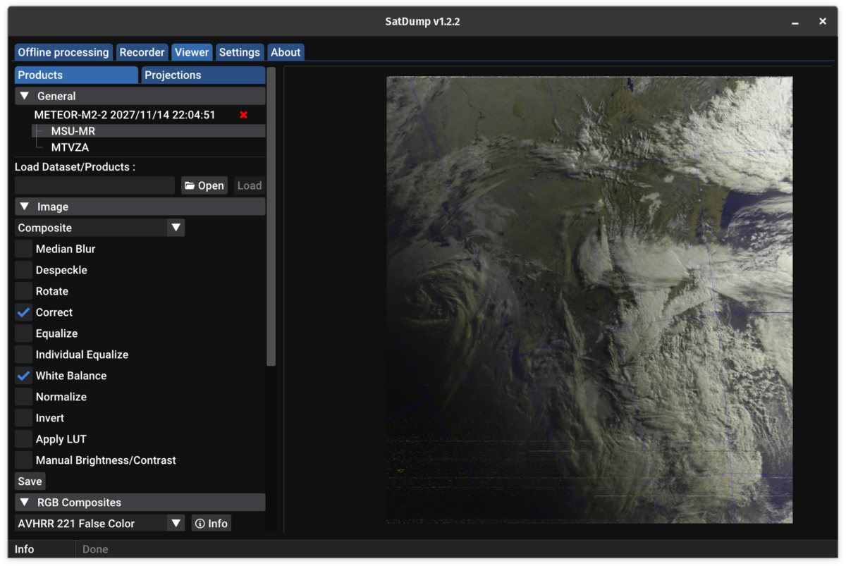
SatDump image processing tab
Polar Orbiting Satellites
Polar orbiting satellites orbit around the Earth while passing over the poles. These satellites often use a scanning-type instrument to continously transmit a scan line of what is directly below them. Receiving these scan lines over time allows you to construct an 2-dimensional image. Since these satellites are moving around the Earth, you must wait until one passes over your location to receive their images.
Low Resolution Imagery
Automatic Picture Transmission (APT) and Low-Rate Picture Transmissions (LRPT) are used by older American NOAA satellites and Russian METEOR satellites respectively. These transmissions have the benefit of using lower frequencies and relatively small bandwidth, making them easy to receive with a cheap radio and handmade antenna. I first started with a simple V-dipole antenna made of two staight wires angled 120° apart. This worked, but I ended up constructing a a more complex quadrifilar helix antenna which provided more reliable reception.
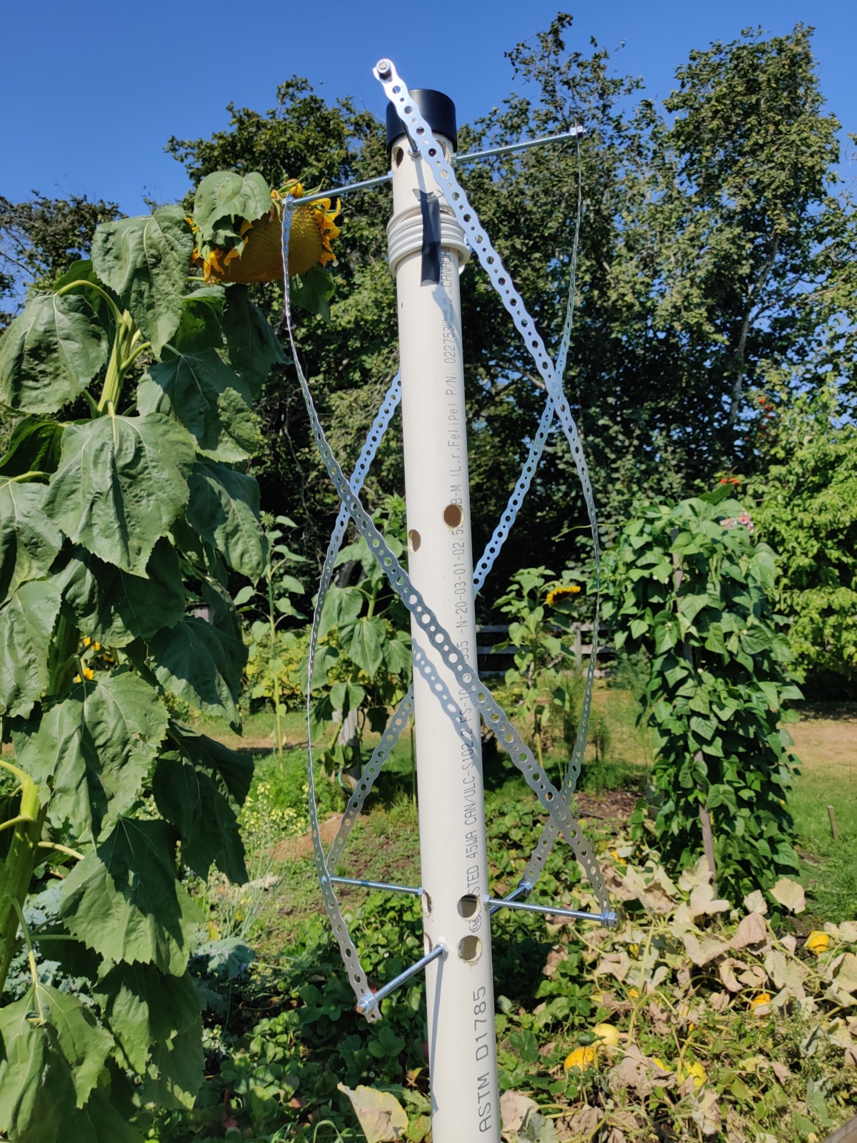
Quadrafiliar helix antenna I made from PVC pipe and galvanized metal strips
These images are easy to receive, but have limited resolution due to being transmitted using lower frequencies. They can still be used to see clouds or snow on mountain ranges.
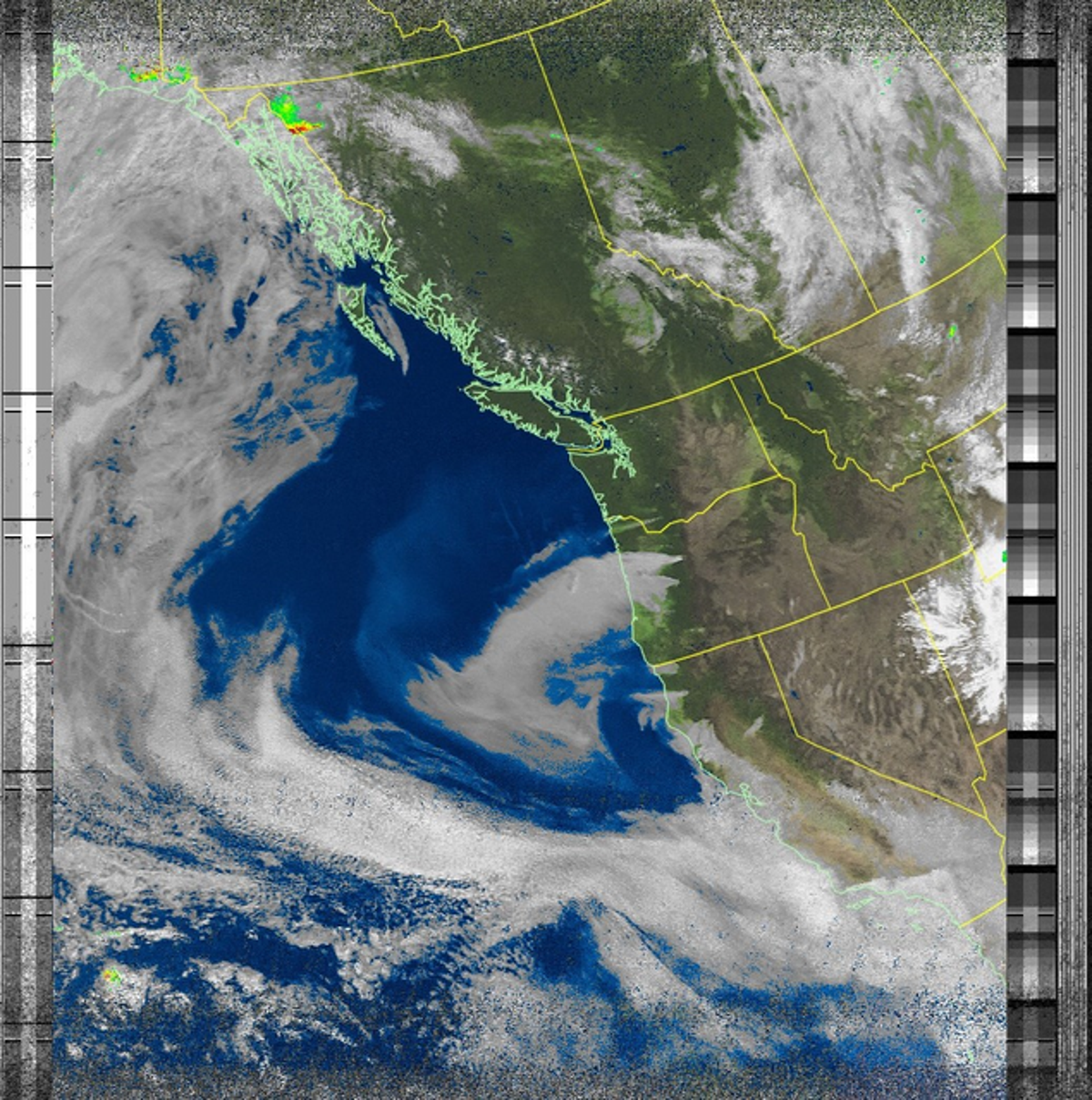
Example of an image received using Automatic Picture Transmission (APT)
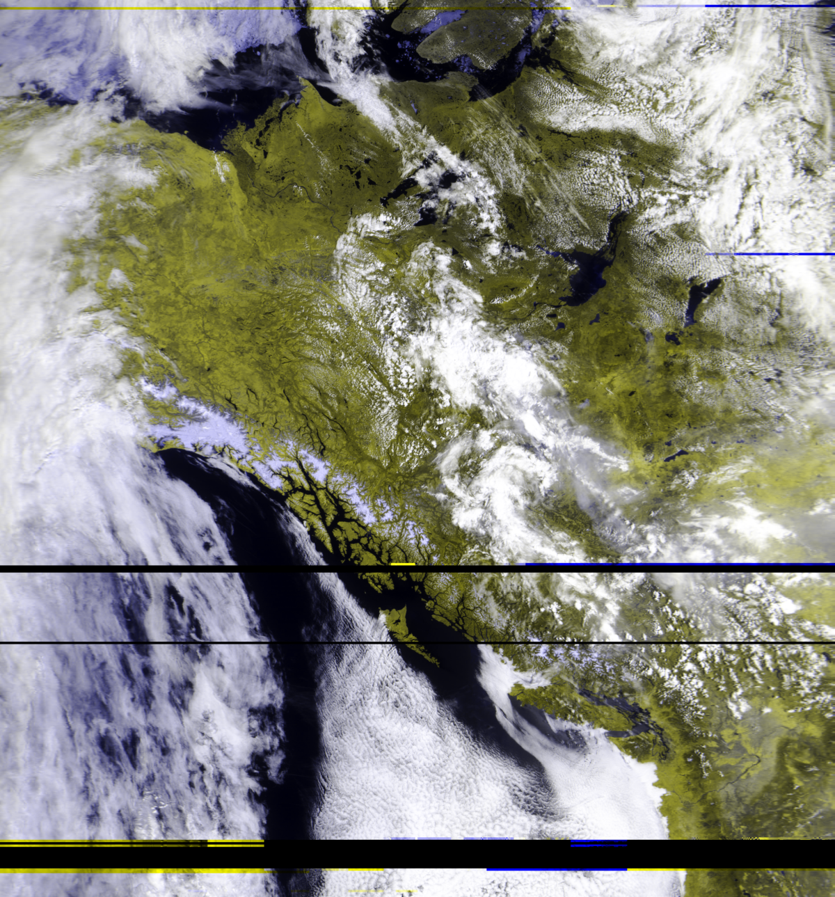
Example of an image received using Low-Rate Picture Transmission (LRPT)
High Resolution Imagery
High-Resolution Picture Transmission (HRPT) allows for the transmission of more detailed images. However, this requires more bandwith and higher frequencies, meaning a more expensive radio is required. Additionally, since antennas for higher frequencies must be smaller, a satellites dish is required to focus more of the radio signal onto the antenna. This is rather challenging, since you must continuously point the dish towards the satellites as it passes overhead. Currently, most operational weather satellites, such as American NOAA satellites, Russian METEOR satellites and European METOP satellites broadcast HRPT.
I first managed to convince a neighbour to let me take down their large satellite dish they weren't using anymore.
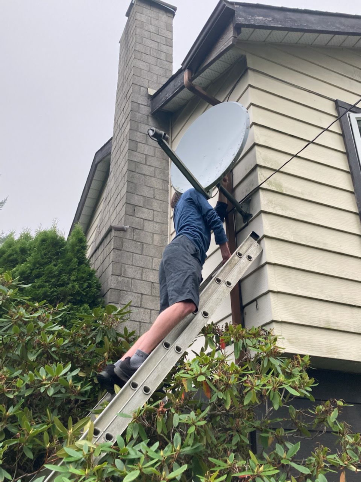
Procurement of a neighbour's satellite dish
Next I needed to make an proper antenna tuned for the satellites I wanted to receive. Luckily all satellites use similar frequencies for HRPT, so the same antenna would work for all of them. This antenna needed to be as perfectly helical as possible, so I ended up 3D printing a frame to hold a copper wire in the correct shape.
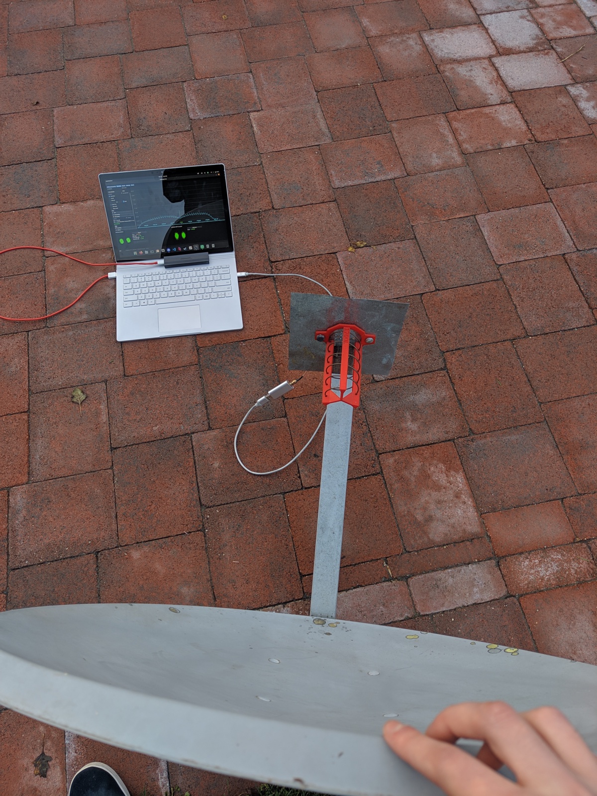
Using my handmade antenna to receive a satellite as it's passing overhead
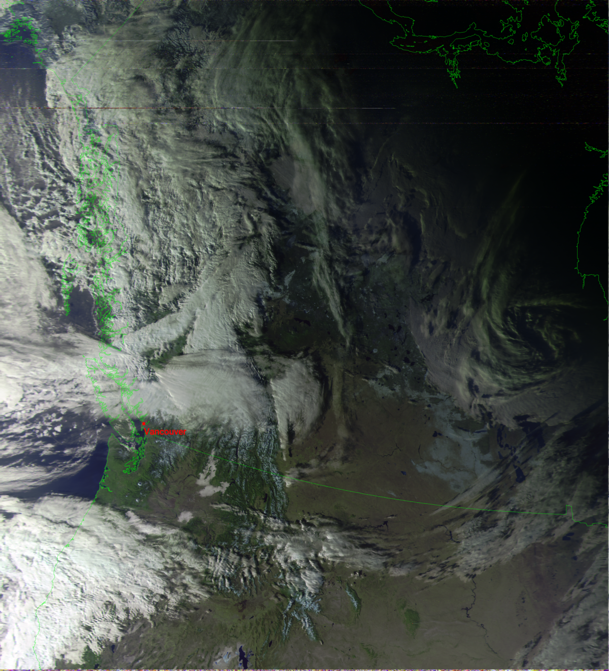
Example of an image received using High-Resolution Picture Transmission (HRPT) with a map overlayed by SatDump afterwards
Geostationary Satellite Imagery
Geostationary satellites orbit at a very specific distance away so that they orbit at the same speed as the rotation of the Earth. This makes them appear stationary and stay in the same position in the sky. This useful because you don't need to contiuously adjust where you point your satellite dish, as with orbiting satellites. Since these satellites are always overhead, they also provide a much more consistent schedule of images. Furthermore, since these satellites are much farther away, they can caputure the whole Earth in a single picture, adequately named a full-disk image. This makes goestationary satellites very convenient for permanent automated systems. Depending on your location, different satellites will have coverage. For me, the easiest to receive is the American GOES 18 satellites positioned above the Pacific Ocean, which uses High Rate Information Transmission (HRIT).
Reusing the satellite dish I had obtained for receiving HRPT, I needed to make a new antenna tuned for GOES 18. This antenna needed to take the shape of can, approriately named a cantenna.
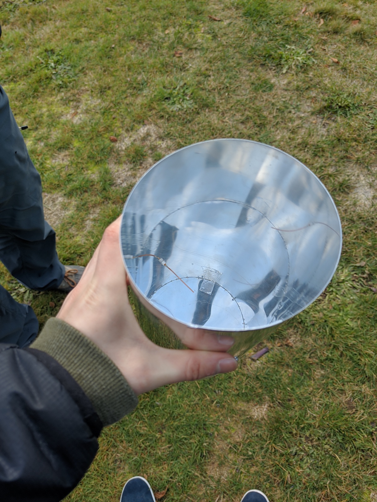
Cantenna made from rolled up metal sheet and foil tape
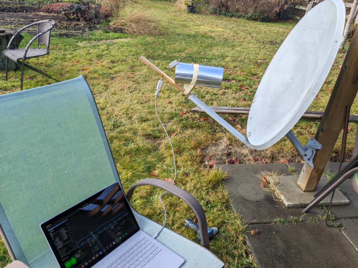
Receiving GOES 18 with the cantenna securely installed to the dish

Full-disk image received from GOES 18 using High Rate Information Transmission (HRIT)